Drone Site Photos in Victoria: Helping Developers, Architects, and Project Teams See the Whole Picture
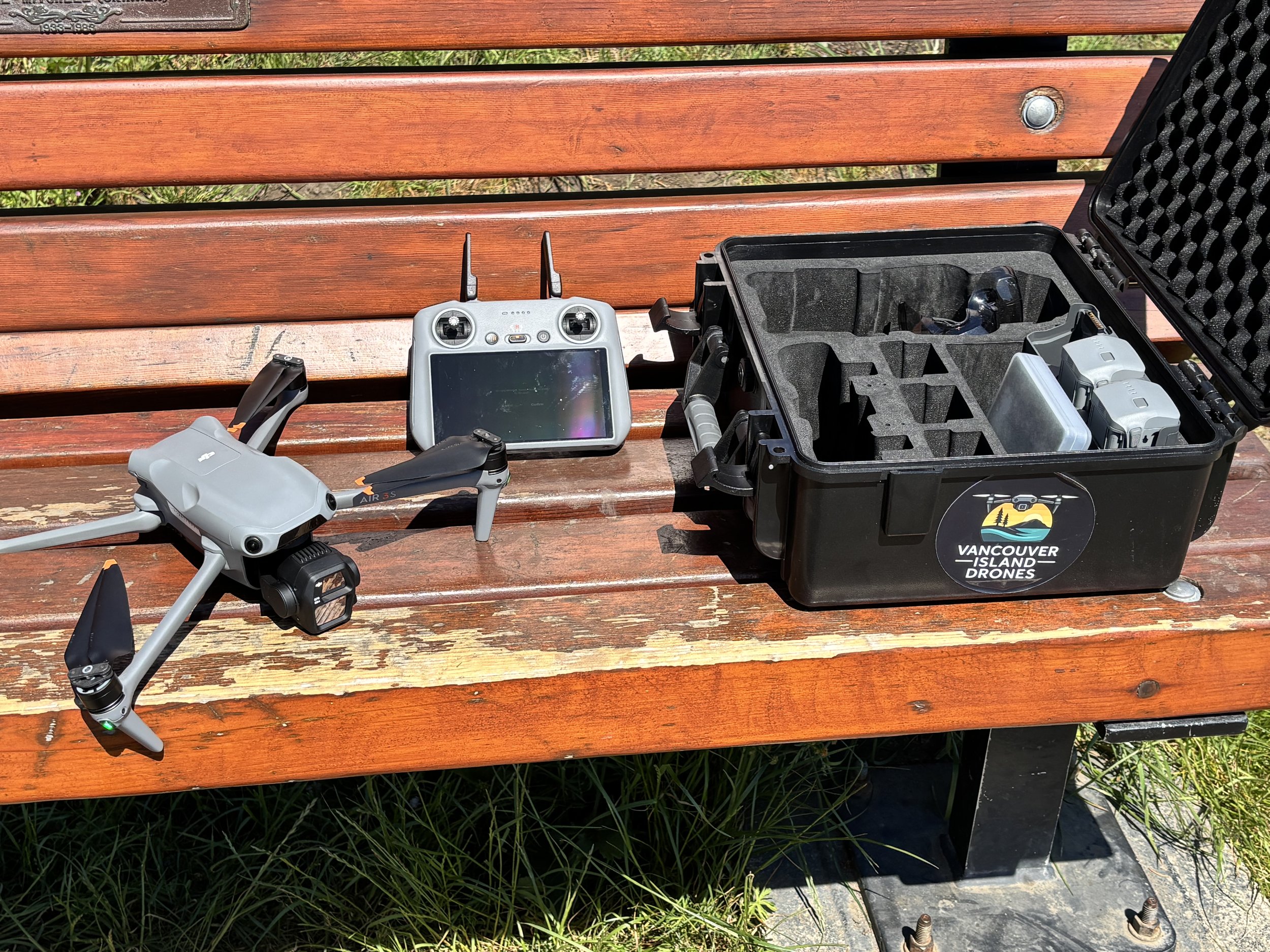
The DJI Air 3S is my main workhorse for practical aerial site photos, project documentation, and local drone jobs around Victoria. Not every project needs a giant enterprise drone — sometimes you just need clear, useful images from above.
Sometimes you don’t need a big production.
You don’t need a film crew, a drone van, a storyboard, three meetings, and someone named Brent standing around with a clipboard saying things like “deliverables” too much.
Sometimes you just need a clear view of a site from above.
That’s where drone site photography makes sense.
For developers, architects, landscape architects, municipalities, construction teams, property owners, and project managers, aerial photos can help show how a site actually fits together. Roads, access points, shoreline, trees, surrounding properties, staging areas, terrain, water, bridges, buildings, open space — all the stuff that can be hard to explain properly from the ground.
Most straightforward local drone jobs around Victoria are usually in the $200–$300 range, depending on location, scope, and what you need delivered.
Bigger project sites, repeat visits, travel, pano images, extra video, editing, labelling, or platform-specific delivery can change the price, but the basic process is still pretty simple.
Send me the site.
Tell me what you need.
I’ll check the airspace, complete a site survey, plan the flight properly, file a NAV CANADA flight plan when required, and capture useful aerial photos or video safely and legally.
No mystery package.
No inflated production nonsense.
Just useful site photos from above.
Site Photos Are Not Just Pretty Drone Shots
Aerial photography can be beautiful, obviously.
This is Vancouver Island. You point a drone at the right coastline and the place basically does half the work for you.
But for project teams, the value is usually more practical than pretty.
A good aerial photo can show the whole site at once.
Where the access is.
How the property sits in relation to the road.
What surrounds it.
Where the shoreline or tree line runs.
How close nearby buildings, trails, water, slopes, or open space really are.
What the project looks like in context.
That matters because ground-level photos only tell part of the story.
You can stand on a site and take fifty phone photos, and still not have one image that clearly explains the whole thing to someone who has never been there.
A drone can usually solve that in a few minutes.
Helping People Understand the Site Faster
A lot of site work comes down to communication.
You may already understand the property because you’ve walked it, measured it, planned it, designed around it, or stood there in the rain staring at it long enough to question your career choices.
But someone else may not.
A client.
A stakeholder.
A project manager.
A municipal team.
A consultant.
An investor.
A board member.
Someone working remotely.
Someone who needs to understand the site before they can make a decision.
Aerial photos help shorten that conversation.
Instead of trying to explain how the road, river, beach, building, slope, trail, or property edge all relate to each other, you can just show it.
That’s the whole point.
The image does the explaining.
Useful for Developers, Architects, and Project Teams
Drone site photos can be useful at a few different stages.
Before work starts, they can help document existing conditions and show the surrounding context.
During planning, they can help teams understand layout, access, terrain, and neighbouring features.
During construction, they can show progress, staging, and how the site is changing.
After work is complete, they can help document the finished project or support website, brochure, presentation, or stakeholder material.
That does not mean every site needs a giant drone package.
Sometimes it is just a clean set of aerial photos.
Sometimes it is a few wider context shots.
Sometimes it is raw video for an internal platform.
Sometimes it is a handful of repeat angles over time.
Sometimes it is a mix of stills and video so the team has options later.
The important thing is figuring out what is actually useful.
Not every job needs to be cinematic.
Sometimes it just needs to be clear.
Photos, Video, Panos, Raw Files, or Edited Media
Different teams need different files.
Some clients want clean, high-resolution aerial photos they can use in reports, presentations, websites, or internal updates.
Some want short video clips.
Some want raw files so their team can use the material in their own platform or workflow.
Some want lightly edited photos.
Some want folders labelled by date or angle.
Some want the same basic views captured over time.
Some may need pano-style images or wider views that help show the full site and surrounding area.
That is why I prefer to keep the conversation simple at the start.
What do you need to show?
Who is using the files?
Where are the files going?
Do you want raw media, edited media, or both?
Is this for internal documentation, project planning, public-facing material, or marketing?
Once that is clear, the flight is easier to plan and the pricing makes more sense.
Safe, Legal, and Planned Properly
Victoria is not empty airspace.
There are floatplanes, helicopters, controlled airspace, buildings, people, traffic, parks, water, wildlife, and site-specific restrictions to think about.
That is why the planning matters.
Before flying a commercial drone job, I review the site, check the airspace, look at takeoff and landing options, review weather, think through people and property nearby, and file a NAV CANADA flight plan or authorization when required.
I’m Transport Canada Advanced-certified and insured, and I treat the planning side as part of the job.
That does not mean the process has to be painful.
Most of the time, it is straightforward.
But it should still be done properly.
The goal is not just getting the shot.
The goal is getting the shot safely, legally, and without making the site’s day harder.
Professional Does Not Have to Mean Complicated
This is the part I think matters.
A project can be professional without becoming overcomplicated.
A lot of drone site photography is pretty simple once the details are clear.
Where is the site?
What needs to be captured?
Are people working there?
Is access required?
Can the flight be done from outside the active work area?
Are there specific angles or features that matter?
Do you need photos, video, raw files, edited files, or organized folders?
Once those questions are answered, the rest is usually just planning and execution.
Show up.
Fly the site.
Capture the media.
Deliver the files.
That’s the process.
No need to turn a useful aerial photo job into a full documentary production unless the project actually calls for that.
What Affects the Price
Most straightforward local drone jobs around Victoria are usually in the $200–$300 range.
That usually covers a planned site visit, a safe flight, and delivery of usable aerial photos, video clips, or both.
Some basic photo-only jobs may be less, depending on the location and scope.
More involved work can cost more.
Things that can affect the price include travel, site complexity, controlled airspace, repeat visits, video needs, pano-style images, editing, labelling, file organization, delivery requirements, active-site coordination, or a larger volume of photos and video.
If your team just needs raw files, that can keep things simple.
If you need polished edits, organized folders, labelled angles, repeat views, or delivery formatted for a specific platform, that gets factored in.
Nothing mysterious.
Just pricing based on what the job actually needs.
Site Context Can Be the Missing Piece
Aerial photos are especially useful when the surrounding area matters.
And around Victoria, it often does.
A project site might be tied to shoreline, a bridge, a park, a road, a slope, a neighbourhood, a commercial area, or a natural feature that is difficult to explain from ground level.
From above, the picture becomes clearer.
You can see the access.
You can see the relationship between the site and the surrounding area.
You can see the scale.
You can see what is nearby.
You can see the whole thing in one frame.
That is why drone photos are useful for more than just construction progress.
They help people understand place.
And that can be valuable for planning, design, communication, documentation, and decision-making.
How It Works
Send me the location and a quick note about what you need.
I’ll review the site, check the airspace, look at access and practical constraints, and let you know if it makes sense.
If it does, we figure out what needs to be captured and how you want the files delivered.
Then I plan the flight, handle the drone side properly, capture the photos or video, and send the files over.
That’s it.
Simple is the goal.
Useful is the goal.
If a drone can help your team understand the site better, it is probably worth a conversation.
If it does not make sense, I’ll tell you that too.
Let’s Talk
If you need aerial site photos in Victoria, the Westshore, or elsewhere on Vancouver Island, send me a quick email.
Tell me where the site is and what you’re trying to show.
I’ll take a look and tell you straight up if it makes sense, what planning may be required, and what it will likely cost.
Related Reads
Construction Drone Photography in Victoria: Simple Progress Photos From Above
A practical look at recurring construction progress photos, weekly or bi-weekly site visits, repeat angles, live-site coordination, and simple delivery for project documentation.
Hiring a Drone Pilot in Victoria, BC — What It Costs and What You Get
Straightforward pricing, what’s included, and what the process looks like if you need aerial photos, video, inspections, or a better look at something from above.
Port Renfrew Road Trip From Victoria: Pacheedaht Beach, San Juan River, and West Coast Chaos
A commissioned aerial shoot around Pacheedaht Beach turned into a family road trip, complete with rough roads, big West Coast scenery, and one very opinionated backseat driver.